I had a few days in Scotland last week and whilst the weather was reasonably good i.e. not throwing it down – rain or snow, my bro and I headed out into the hills just North of Glasgow.
The following is a 14.5 km (9 mile) walk taking in Ben Venue which is a modest hill of 729m.
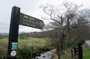
A rarity in Scotland this path is pretty much way-marked right up to high levels (click to enlarge pics)
We chose this one as the cloud base was fairly low that day and we wanted at least a chance of seeing a view from the top!
Parking up in a lay-by in Ledart we headed up the track off the road there and made our way across the small burn (stream) on a way marked path into the woodland.
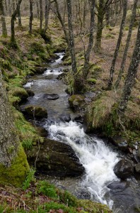
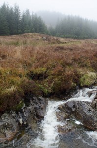
Recent heavy rain meant the waterfalls were at their best even if the light was fairly subdued.
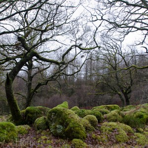
The path leaves the side of the burn now and makes its way through some woods that look all the world like they should feature in a Tim Burton movie.
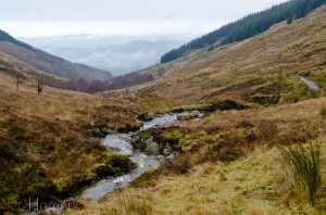
We finally broke cover and strode out into open moorland – the way veers right and makes it back to the burn. A quick glance over the shoulder revealed just how far we’d come.
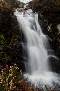
Time for a quick coffee and a bite to eat next to this waterfall.
It’s too cold to kick back and chill out at this time of year!
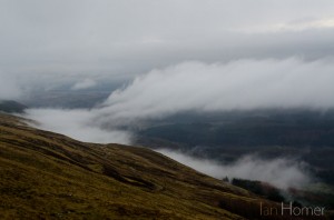
As we moved off the cloud got lower brushing the contrasting tops of the pine plantation.
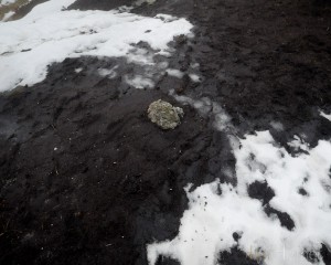
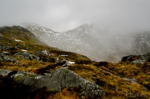
We climbed to the top of the col and then drop into where the snow lies amongst peat hags. Thankfully there wasn’t too much ice though as we hadn’t got the crampons on to deal with that.
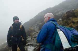
Heading up the rocks to the top we waited as another hiker descends. We then compare notes – he came up a different route that is sometimes inaccessible and confirmed today he’d had some difficulty.
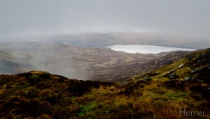
Lunch was taken quickly just down from the summit cairn. There was no view from that location at that time, however, just after a rare glimpse of Loch Katrine came into view as a breath of wind blew some of the low cloud out of the way.
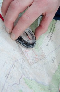
It was high time to take a bearing to double check the route along the ridge – our preferred route off the mountain. The paths aren’t way-marked up on the tops and the snow covers even well worn routes. Mist also serves to disorient.
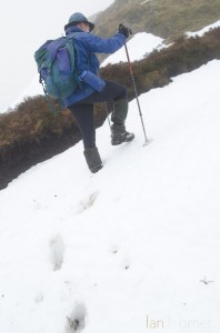
Scrambling up the snowy slopes along what was quite a bumpy ridge was good fun but also could be quite taxing after a while. Best with walking poles to the utilise upper body too.
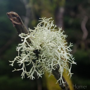
The air is so unpolluted and damp here that bryophytes like the lichen here spectacularly adorne the branches of trees. Loch Ard Ben Venue round
We bounced across the moor and traversed our way down to a forestry track which zig-zagged its way through the trees back to the lakeside. Amongst the mixed woodland more fantastic lichen could be found growing from the branches.
At the end of the zigzag path we had to scale a high gate to get back to the lakeside.
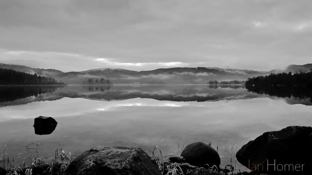
Whilst my brother went for the car I busied myself with making a picture of the superb reflection of the loch. Wedging my body against the rocks I squeezed the shutter on a tenth of a second in fast fading light to get this one.
It was a really varied and enjoyable walk which is, I expect, a little more challenging in the winter than at other times of the year. The route is to be found below should you wish to try it yourselves.
Hike route 1929516 – powered by Wandermap
Addendum: For those interested in kit lists I had with me this very cut-down set-up: Nikon D7000 DSLR body 17-35mm f2.8 AF-S, flash gun, curly cord and a few cards.
